The Crop Circle Research Archive is home to one of the world’s largest databases of crop circle-related information.
Crop Circles Visible on Google Earth
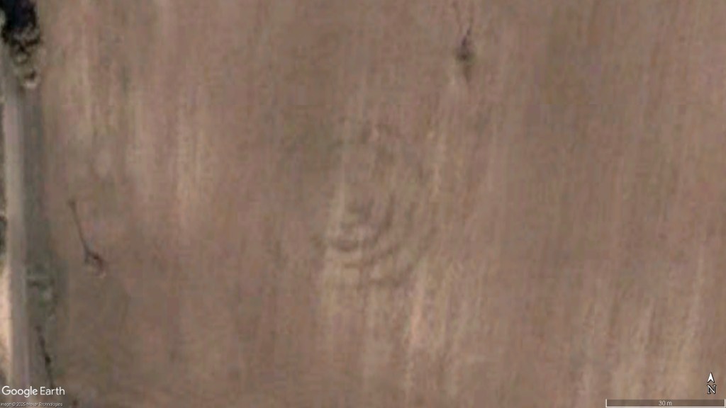
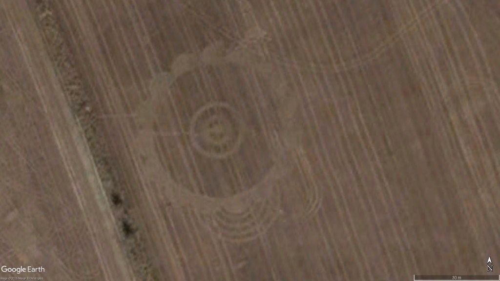
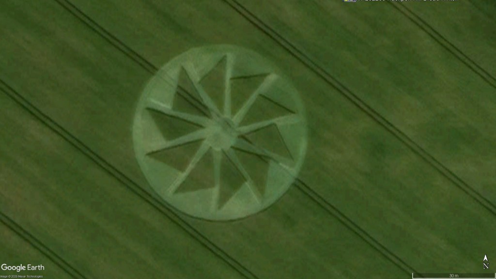
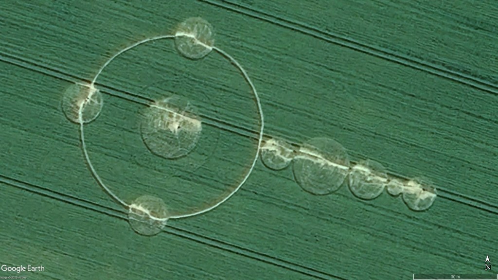
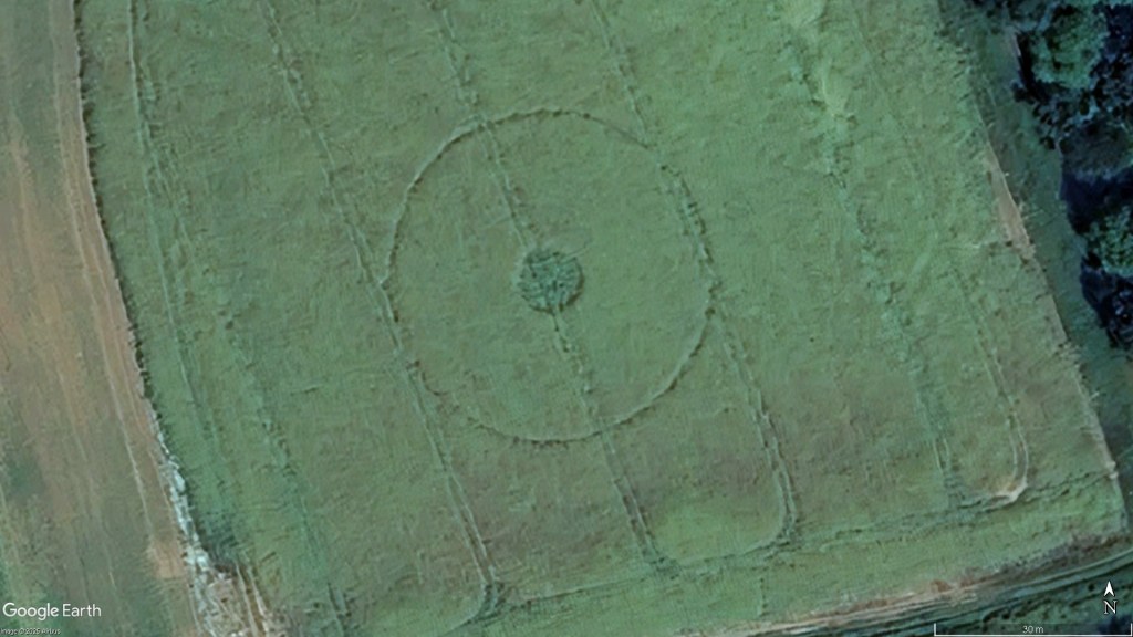
People often ask “are crop circles visible from space?”. Well they are.
Google Earth Pro has a feature known as the Time Slider which allows you to see the earth as it was at different points in time between approximately 1999 and today. Not every year has a set of photos but there are also some war-time sets available as well as a few from the 1960s and 1970s around places like Kent.
There are more than 130 crop circles visible on Google Earth if you know when and where to look. You’ll find some of them below.
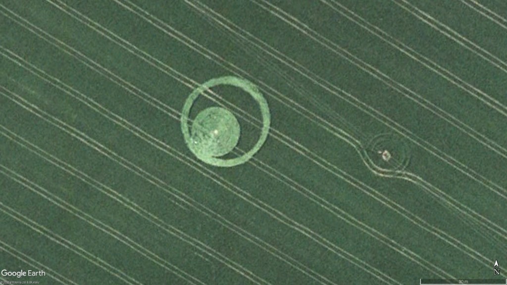
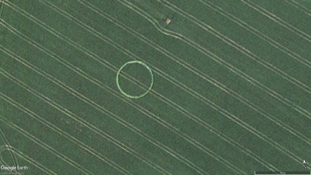
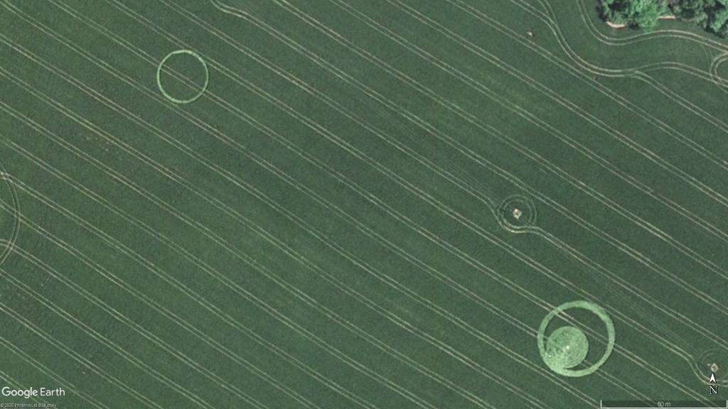
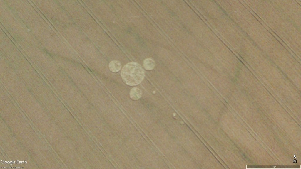
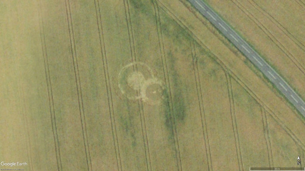
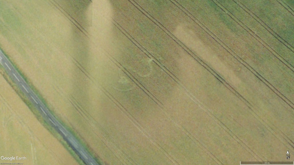
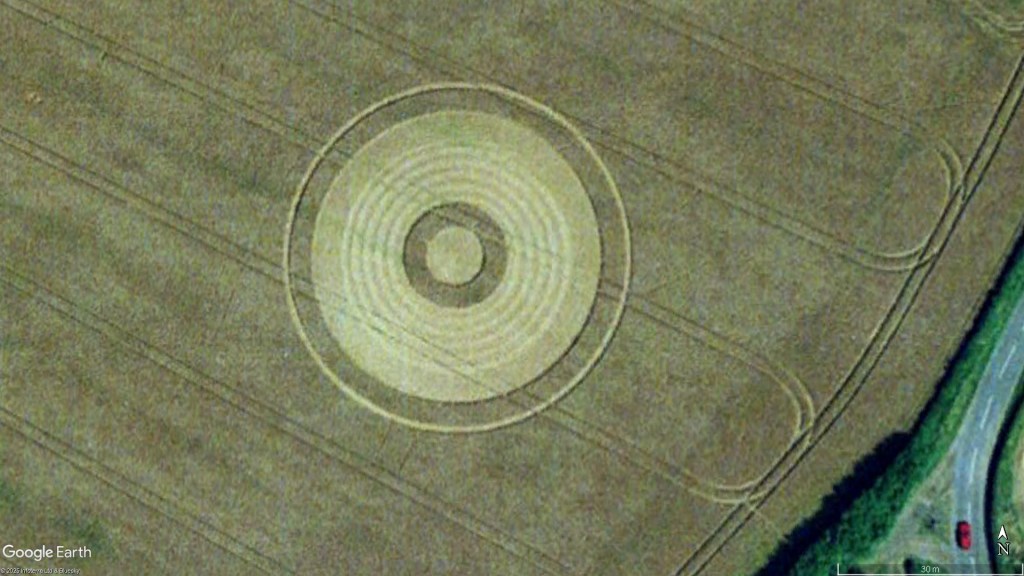
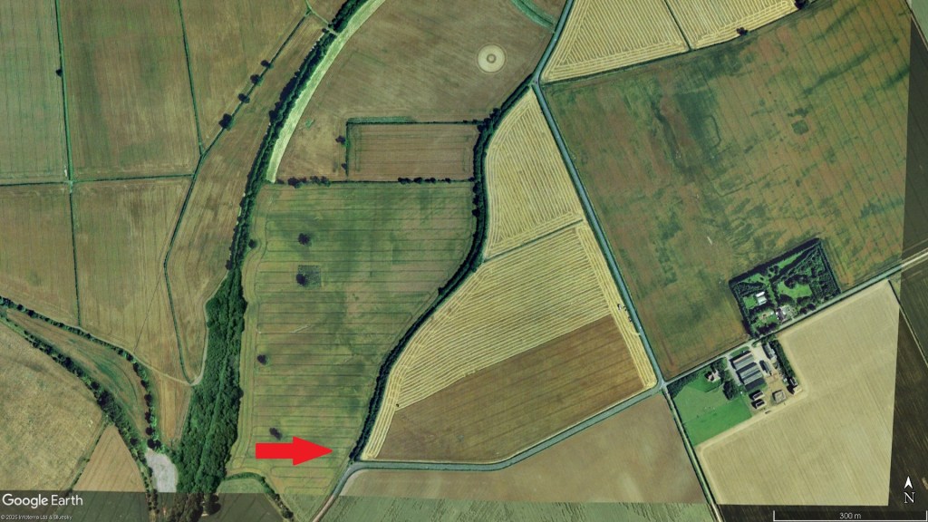
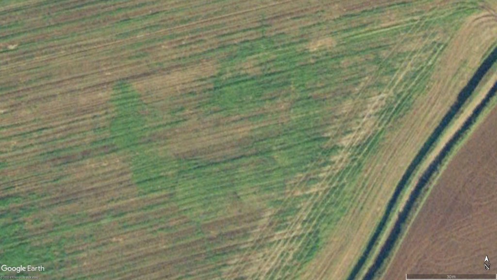
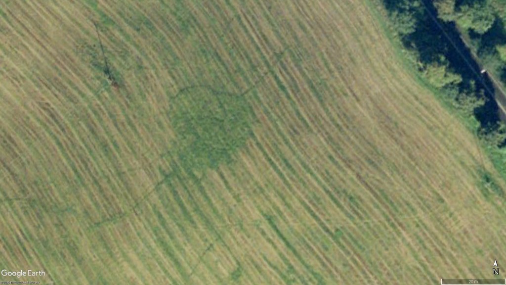
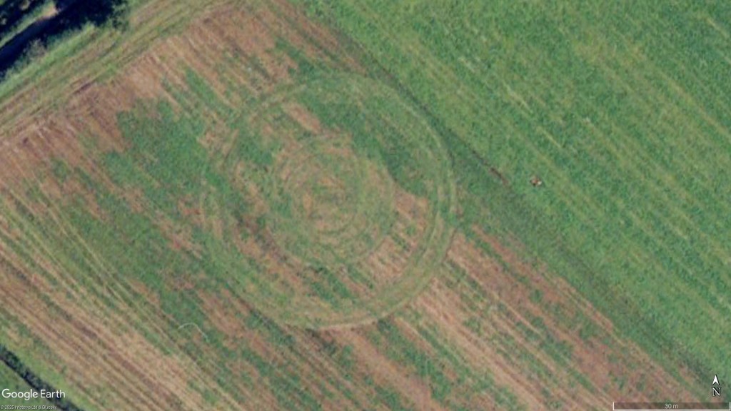
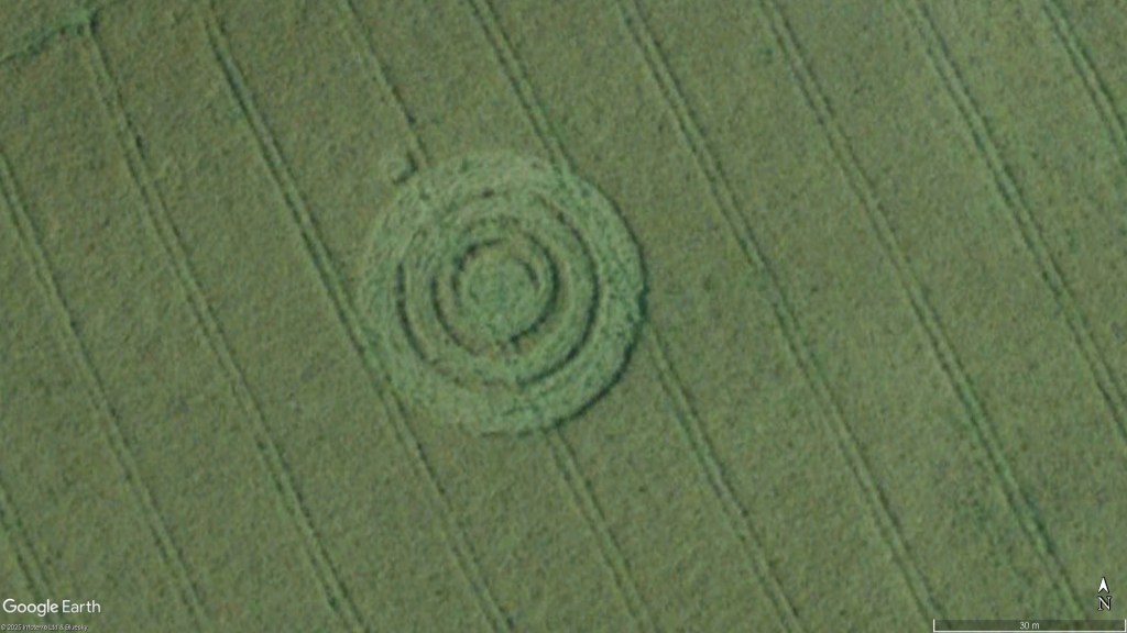
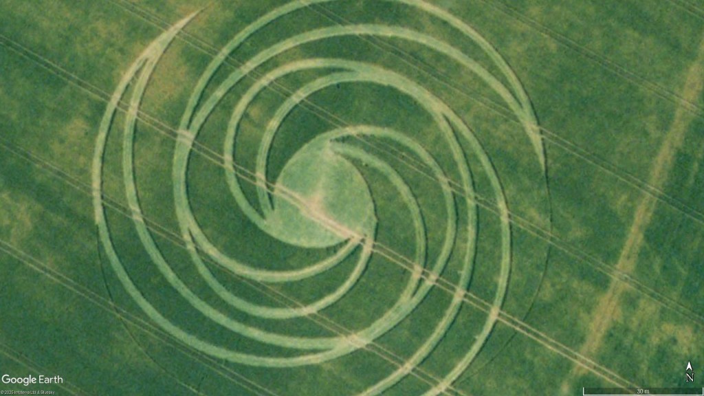
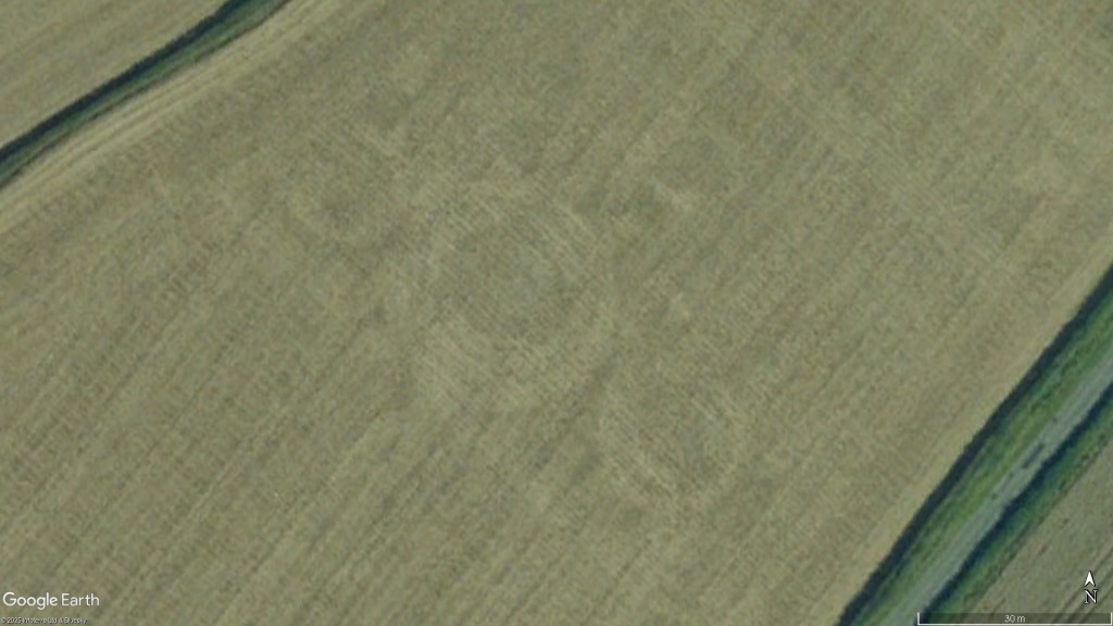
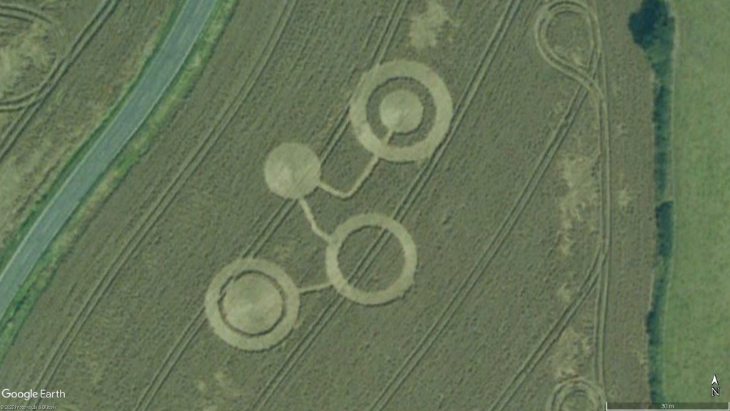
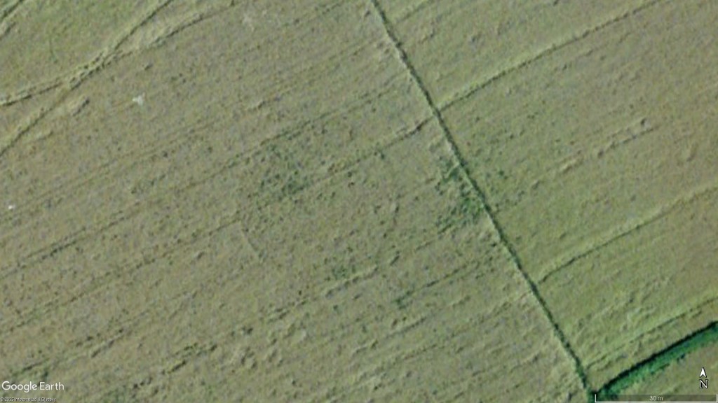
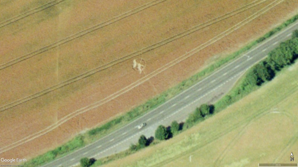
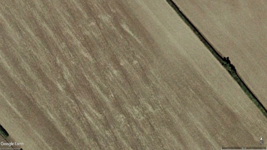
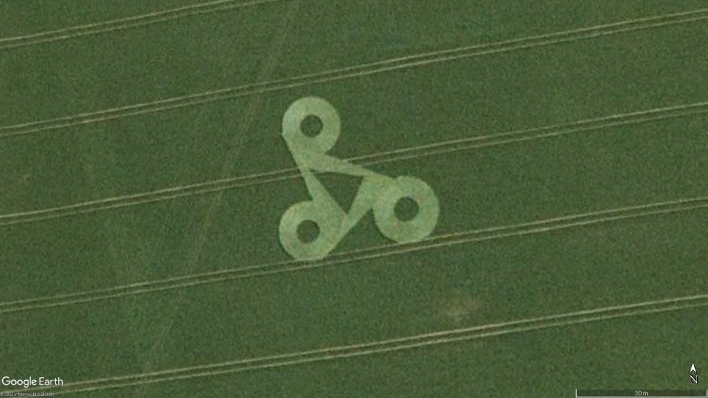
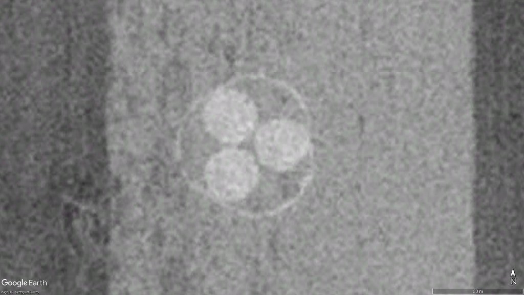
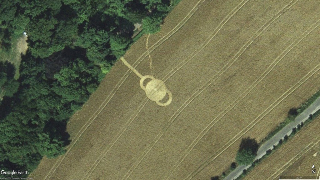
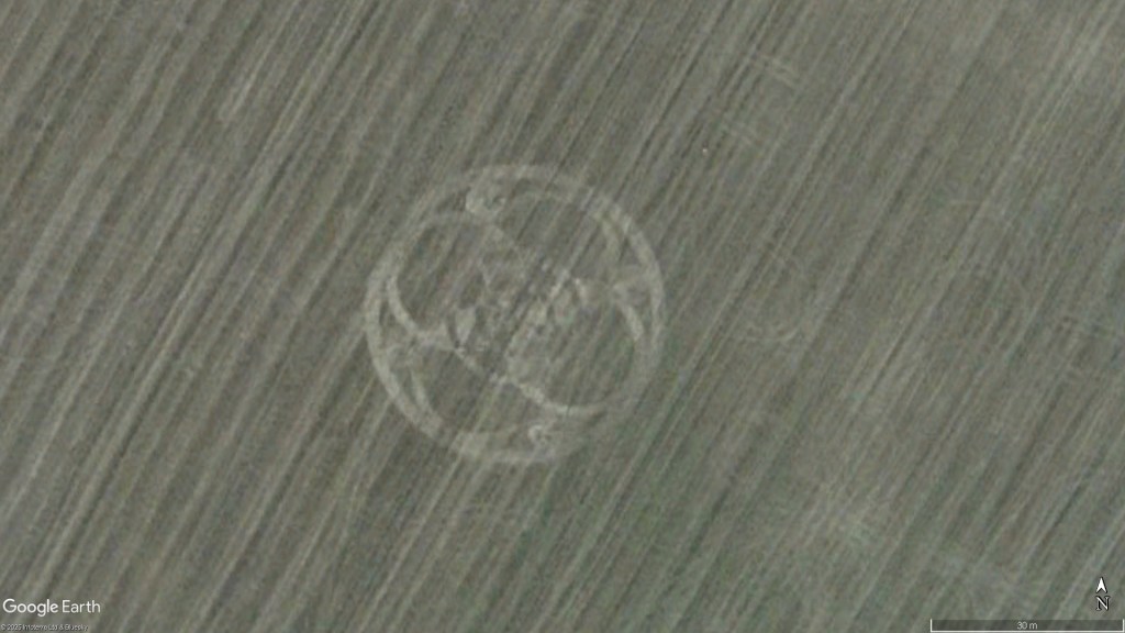
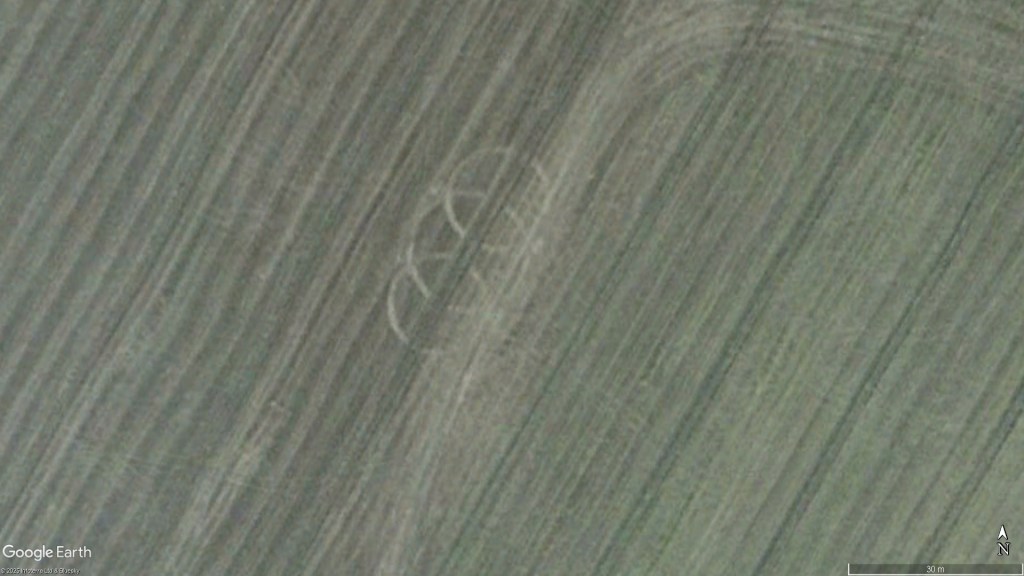
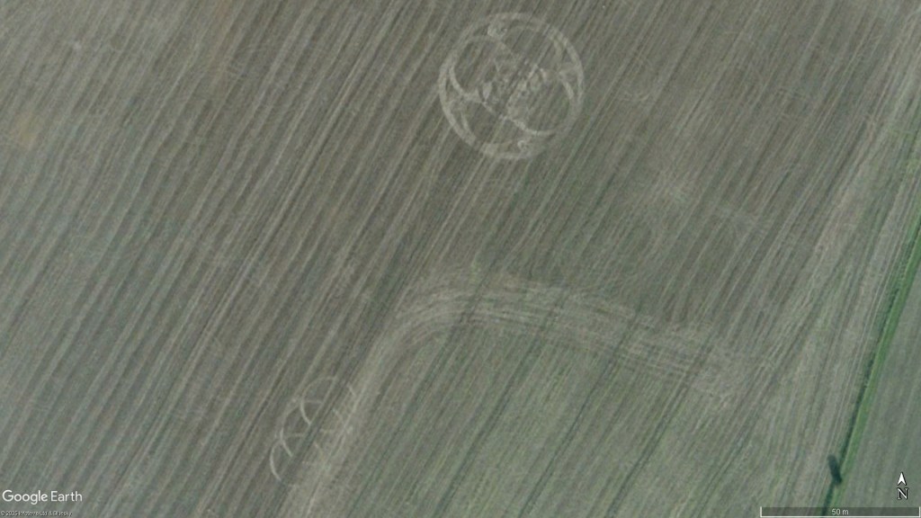
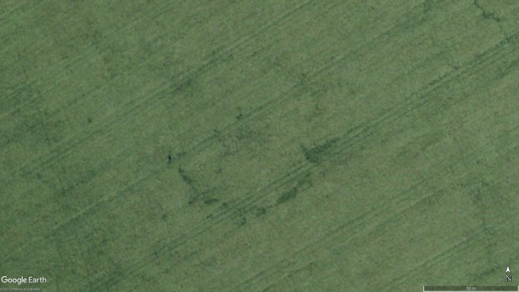
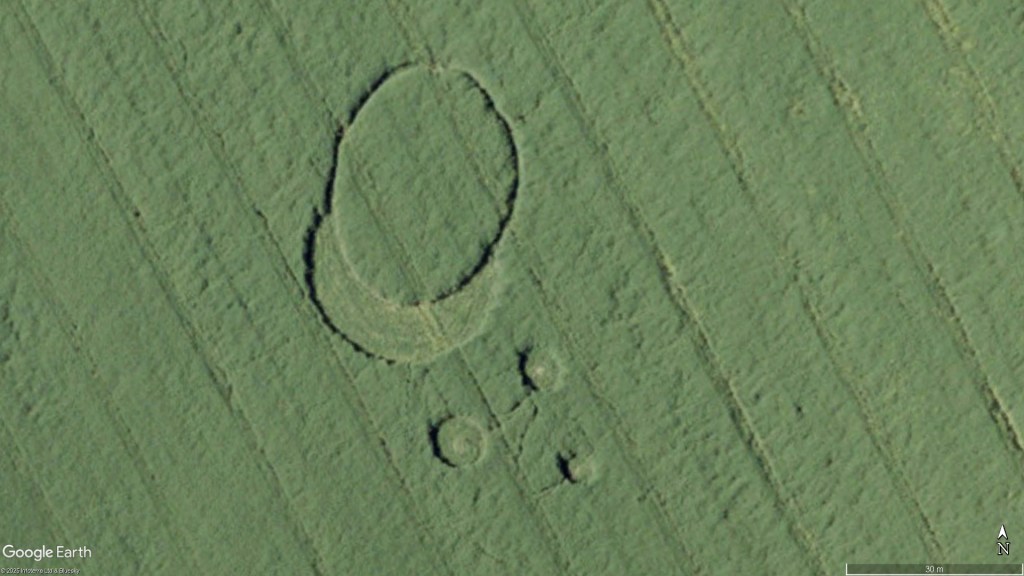
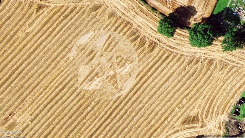
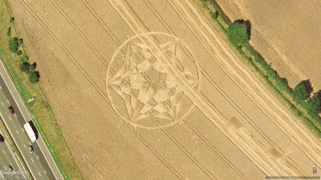
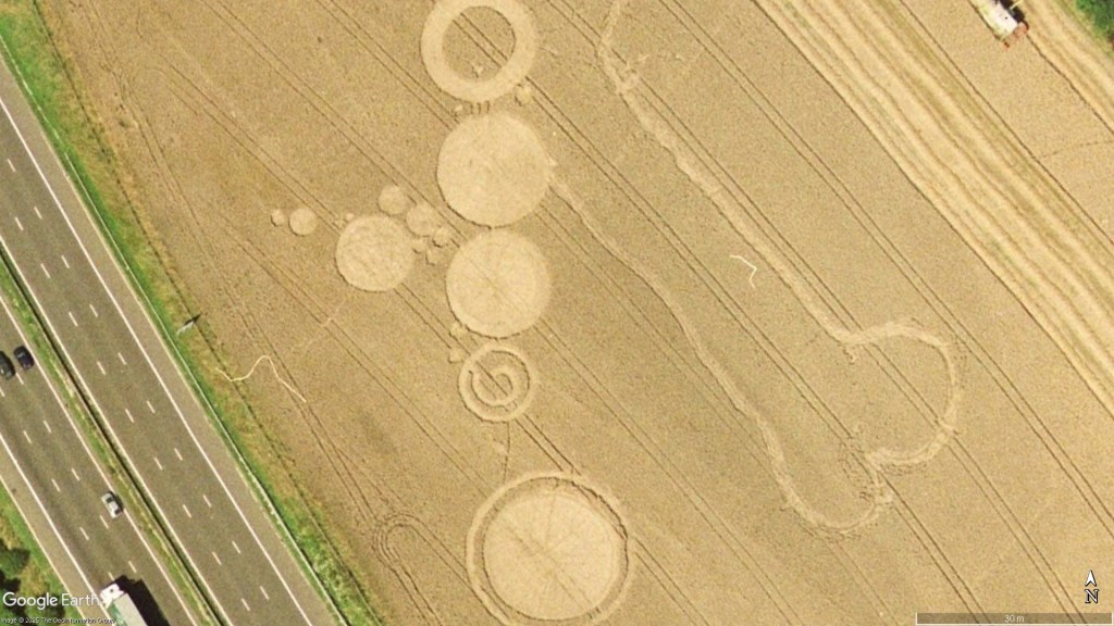
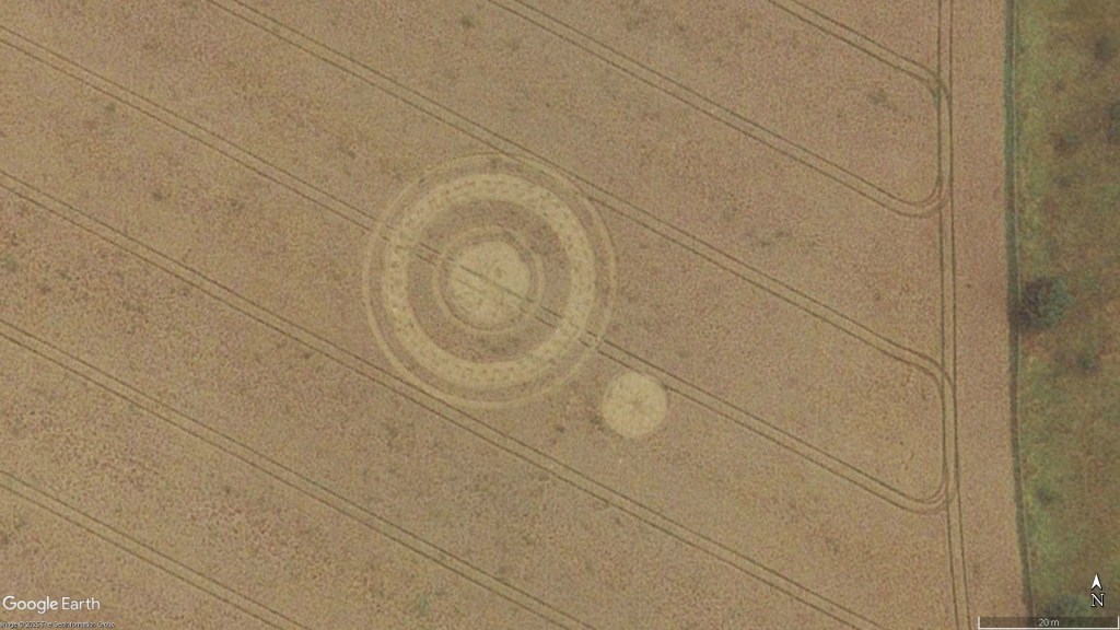
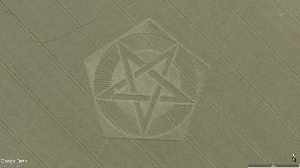
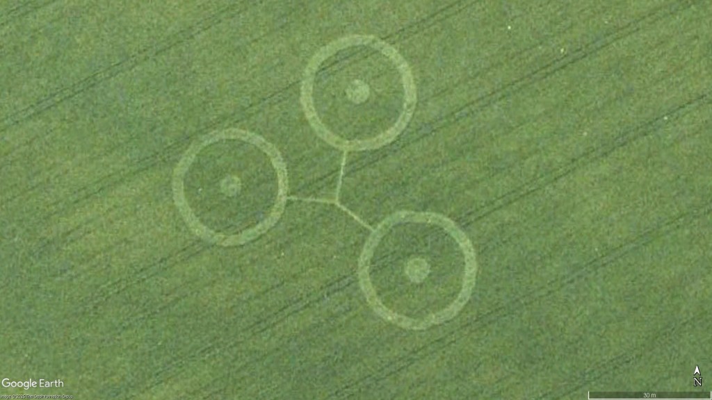
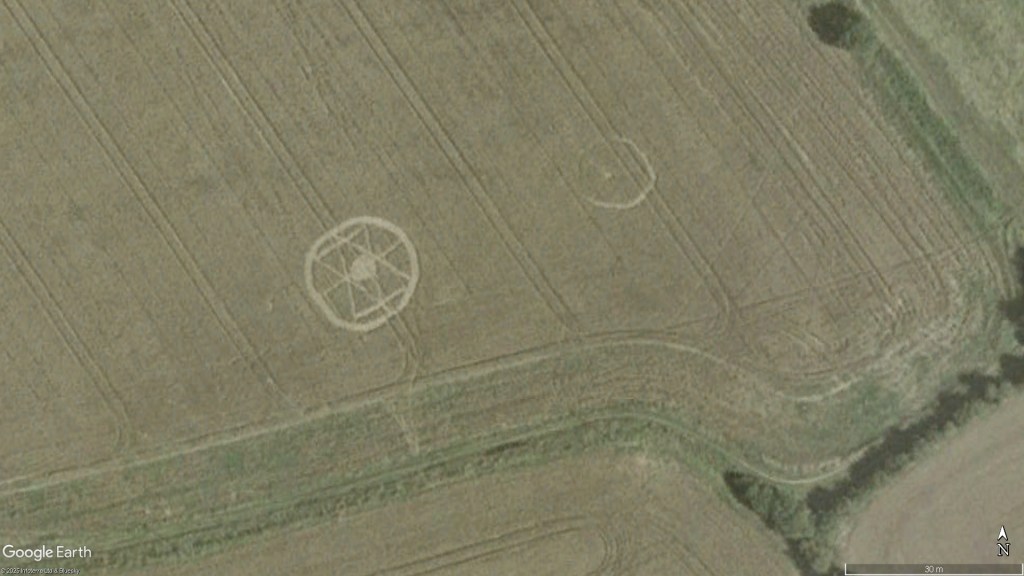
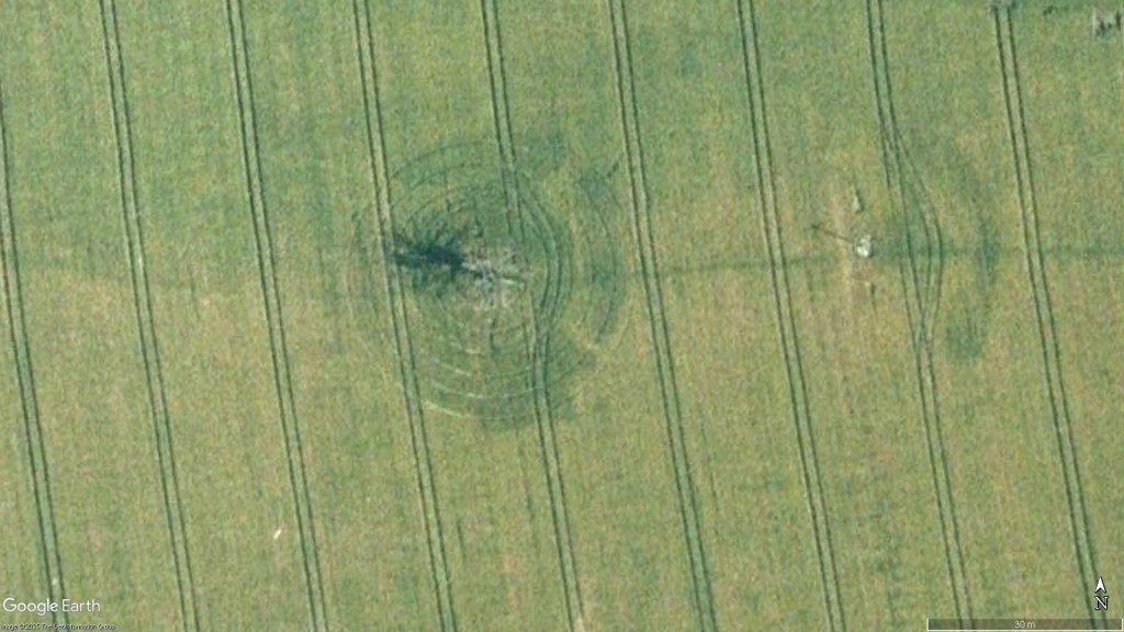
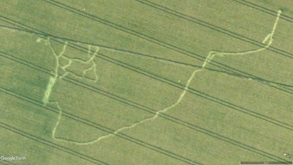
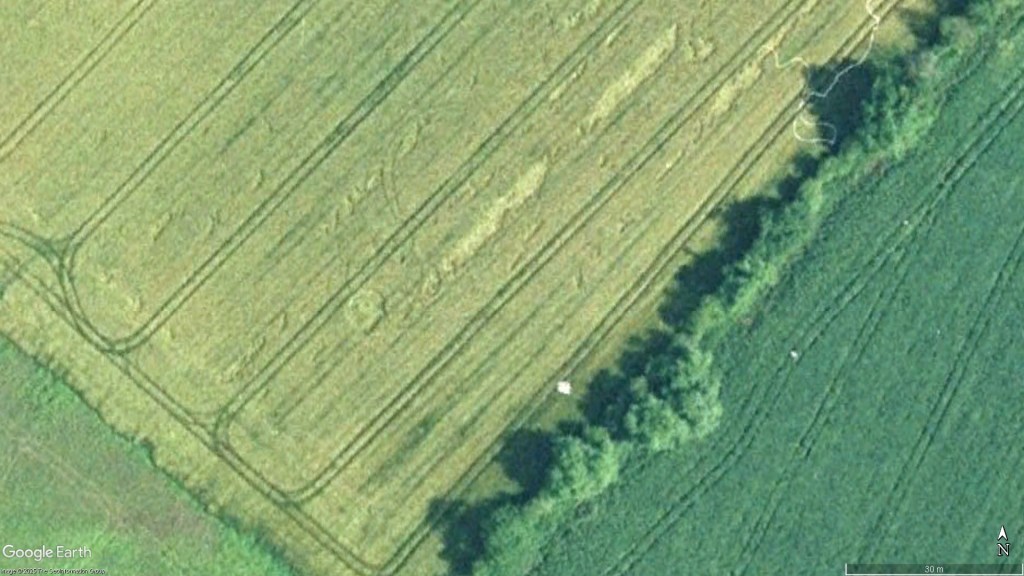
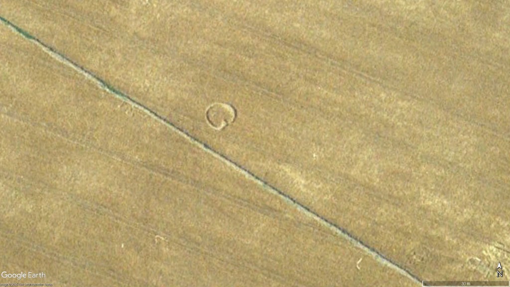
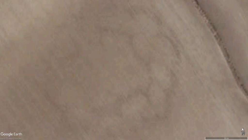
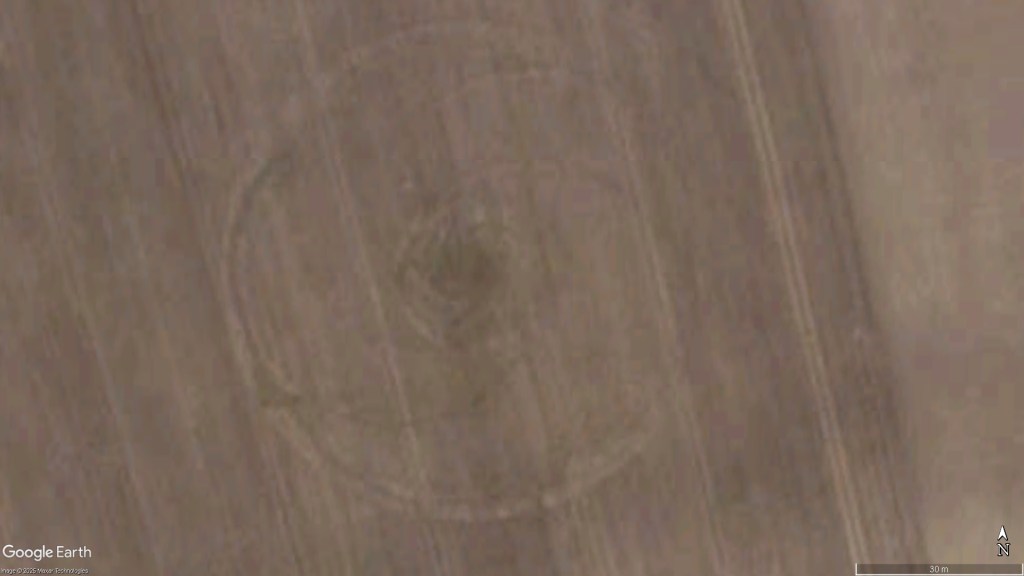
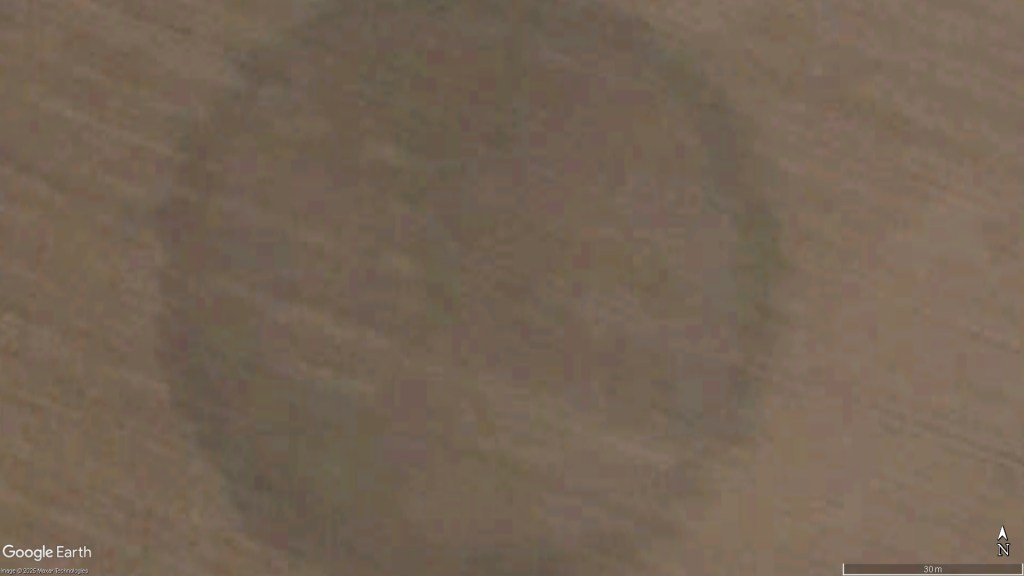
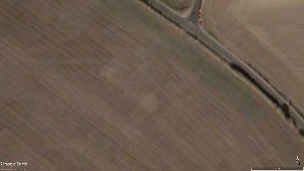
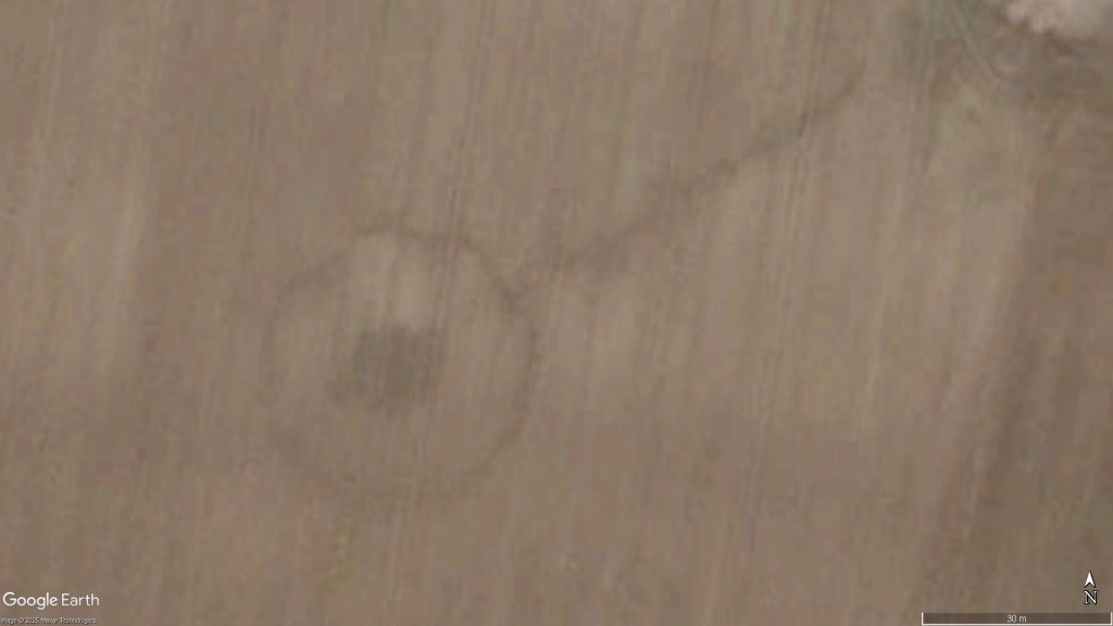
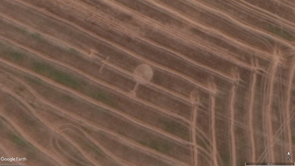
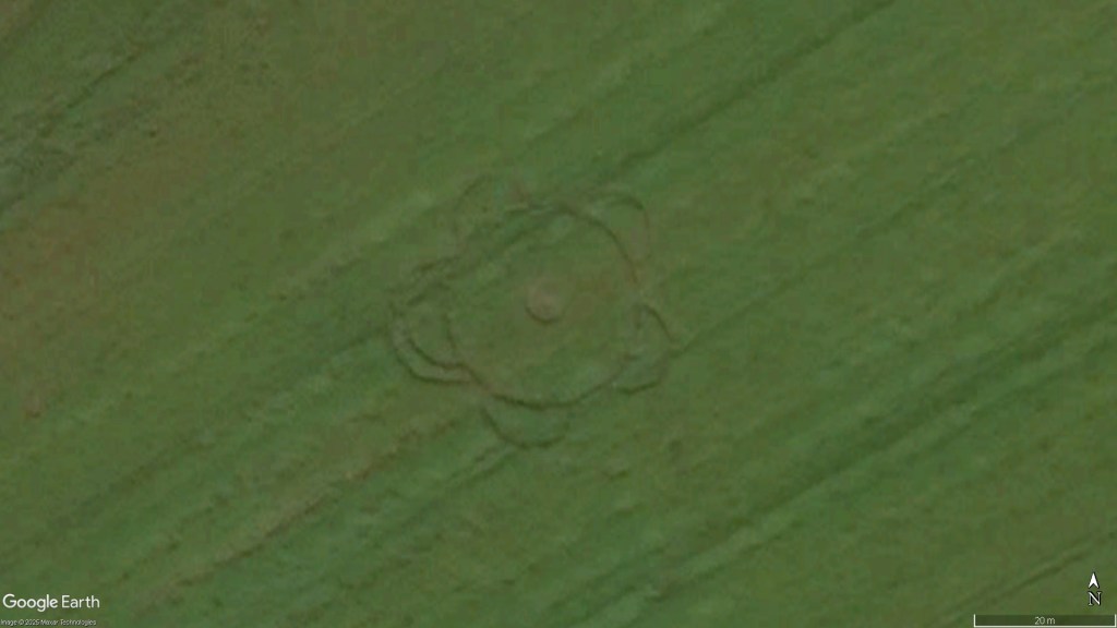
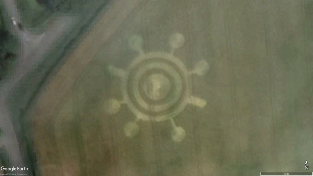
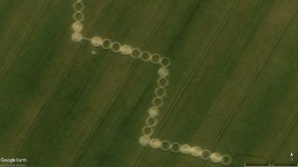
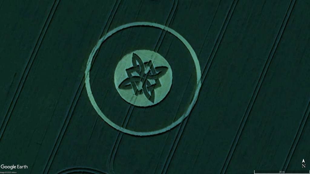
All images are generated courtesy of Google Earth and are taken from the equivalent height of 150m above the ground with due North being set directly upwards in the image. This means they can be directly compared against each other for both size and orientation.
1999 (17)
ENCA199901 Great Staughton, CambridgeshireENCA199903 Great Staughton, CambridgeshireENCA199901 and ENCA199903 Great Staughton, Cambridgeshire (250m)ENCA199902 Wimpole Hall Great Eversden, CambridgeshireENHA199902 West Meon, HampshireENHA199904 Owslebury, HampshireENHA199905 Stephens Castle Upham, HampshireENHA199907 Stephens Castle Upham, HampshireENHA199905 and ENHA199907 Stephens Castle Upham, Hampshire (500m)ENHA199912 Warnford, HampshireENRU199901 Morcott, RutlandENRU199902 Morcott, RutlandENRU199901 and ENRU199902 Morcott, Rutland (1500m)ENSO199903 Newton St Loe, SomersetENSO199905 Pennyquick Hill Bath, SomersetENSO199910 Stanton Prior, SomersetENSO199913 Tormarton, SomersetENWI199924 Hackpen Hill Broad Hinton, WiltshireENWM199901 High Heath Sutton Coldfield, West MidlandsENYS199902 Birdwell Hoyland, South Yorkshire
2000 (7)
ENEX200001 Conduit Farm Birch, EssexENEX200002 Garlands Farm Layer de la Haye, EssexENHA200001 Grately, HampshireENHA200013 Hursley, HampshireENHE200002 South of Deacon Hill Pegsdon, HertfordshireENHE200001 Cuffley, HertfordshireUSOR200001 Whiskey Hill Woodburn, Oregon, USA
2001 (8)
ENKE200103 Lullingstone Catsle Eynsford, KentENSW200101 South Harting, West SussexENSW200102 South Harting, West SussexENSW200101 and ENSW200102 South Harting, West Sussex (250m)ENWI200108 Berwick Bassett, WiltshireENWI200109 Liddington Castle Badbury, WiltshireENWI200110 Avebury Down, WiltshireENWI200121 Avebury Trusloe, WiltshireENWI200135 Golden Ball Hill West Stowell, Wiltshire
2002 (9)
ENHE200202 West of Telegraph Hill Hexton, HerefordshireENWI200201 North Down Beckhampton, WiltshireENWI200206 Waden Hill Avebury, WiltshireENWI200239 The Ridgeway Avebury, WiltshireENYS200201 Dodworth, South YorkshireENYS200202 Cat Hill Darfield, South YorkshireENYS200203 Gilroyd Dodworth, South YorkshireENYS200204 Gilroyd Dodworth, South YorkshireENYS200203 and ENYS200204 Gilroyd Dodworth, South Yorkshire (500m)ENYW200201 Osset, West Yorkshire
2003 (21)
ENBD200301 Sharpenhoe Barton le Clay, BedfordshireENCA200301 nr Sibson Airfield Sibson, CambridgeshireENKE200301 Coldrum Stones Trottiscliffe, KentENKE200302 Pilgrims Way Burham, KentENKE200303 Kits Coty Blue Bell Hill, Kent2003 01 01 ENLI200301 Scartho, LincolshireENOX200301 Toot Baldon, OxfordshireENOX200302 Toot Baldon, OxfordshireENOX200304 Toot Baldon, OxfordshireENOX200305 Cuddesdon, OxfordshireENWI200303 Windmill Hill Avebury, WiltshireENWI200309 Windmill Hill Avebury, WiltshireENWI200317 Woodborough Hill Alton Priors, WiltshireENWI200321 Hackpen Hill Broad Hinton, WiltshireENWI200322 Huish West Stowell, WiltshireENWI200324 Lurkeley Hill East Kennett, WiltshireENWI200328 Berwick Bassett, WiltshireENWI200329 Woodborough Hill Alton Priors, WiltshireENWI200330 Barbury Castle Wroughton, WiltshireENWI200338 Everleigh, WiltshireENWI200339 Avebury Avenue Avebury, Wiltshire
2004 (1)
ENSE200401 Tegdown Hill Patcham, East Sussex
2020 (1)
ENSE202001 Houndean Bottom Lewes, East Sussex
2022 (4)
ENDO202201 Sixpenny Handley, Dorset (man-made)ENSO202201 Christians Cross nr Kingweston, Somerset (man-made)ENWI202202 Hackpen Hill Broad Hinton, WiltshireENWI202203 Hackpen Hill Broad Hinton, WiltshireENWI202202 and ENWI202203 Hackpen Hill Broad Hinton, Wiltshire (1500m)
2024 (2)
ENWI202401 Wilton Windmill Wilton, WiltshireENWI202403 Wilsford Shaft West Amesbury, Wiltshire
2025 (3)
ENDO202501 Wimborne Minster, Dorset (man-made)ENWI202501 Sutton Veny, WiltshireENWI202506 North Down Beckhampton, Wiltshire (odd pattern)